
KATE WESTPHAL
CAMPUS EDITOR
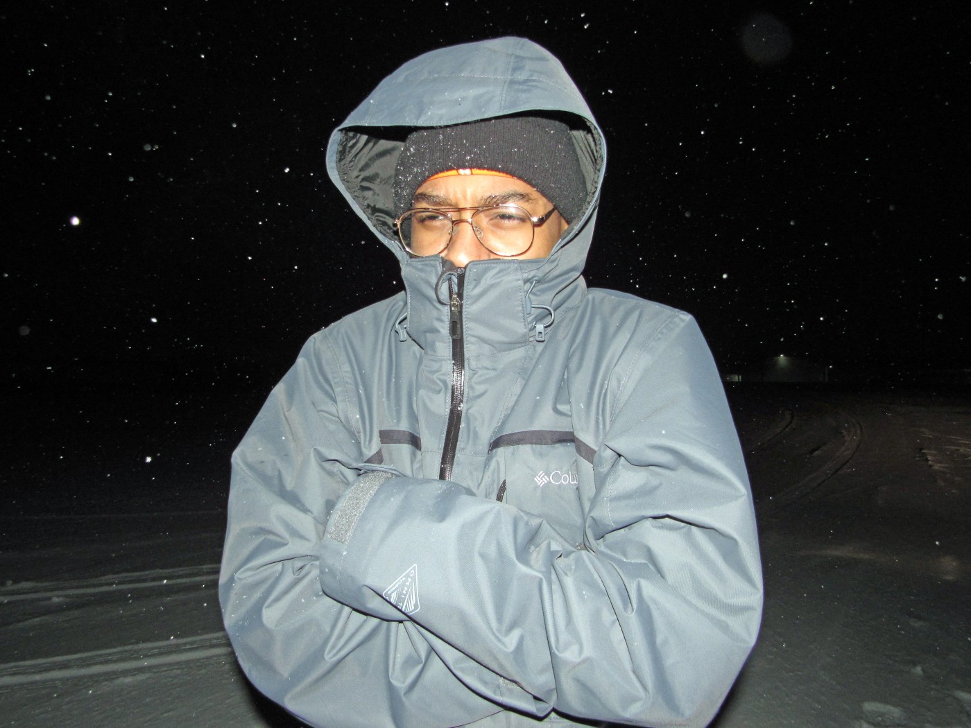
Winter has finally arrived on Alma College’s campus, and in a frigid way. Temperatures dipped as low as -14° Fahrenheit during the week of 20 Jan. and are expected to stay low as we enter February. One large reason for the late and exceptionally cold winter is global warming and how it has impacted weather patterns.
What is often blamed for harsh winters is La Niña, the name for the periodic cooling of ocean surface temperatures in the central and east central Pacific Ocean near the equator. La Niña is the opposite of El Niño, which refers to the warming of ocean surface temperatures. According to the Climate Prediction Center (CPC), La Niña events happen around every 3 to 5 years but can happen several years in a row.
During a La Niña event, a drop in ocean surface temperatures in the Pacific Ocean affects tropical rainfall in Indonesia and South America, which in turn affects weather patterns around the world. These effects are felt the strongest during the winter months, when the jet stream linking these places is over the United States. A strong jet stream leads to colder and harsher conditions in the Northern Hemisphere and warmer and less harsh conditions in the Southern Hemisphere.
What does the jet stream mean for the Midwest? Typically, during a strong jet stream, fall tends to be drier and warmer while winter tends to be wetter than normal. However, there are also other weather patterns that correlate to a colder winter for us. These weather patterns include the Arctic Oscillation (AO) and the North Atlantic Oscillation (NAO).
The Arctic Oscillation refers to the changing atmospheric pressure patterns in the Arctic. When there is high pressure over the polar region and low pressure in the middle latitudes, the AO is said to be in a negative phase. Conversely to that, when there is low pressure over the polar region and high pressure in the middle latitudes, the AO is said to be in a positive phase. In a negative phase, cold air from the Arctic travels into the central and eastern United States, causing local temperatures to drop. In a positive phase, the cold air is confined to the polar regions by the low pressure and doesn’t travel down to the United States.
The North Atlantic Oscillation, abbreviated as NAO, is like the Arctic Oscillation, but measures the difference in atmospheric sea level pressure between the polar low and the subtropical high. A positive phase of the North Atlantic Oscillation indicates an increased pressure gradient while a negative phase indicates a weaker pressure gradient.
If either the Arctic Oscillation or North Atlantic Oscillation are positive for a long amount of time, their effects could lead to a milder winter in the continental United States. However, if they are negative for a long amount of time, it could lead to an unusually cold winter for the continental United States. Research has shown that the Arctic Oscillation and North Atlantic Oscillation have been negative for the past few winters and could stay in negative or positive phases for several years at a time.
These phases mean that weather could turn more extreme, and shift towards the ends of its scales. With the effects of global warming, warmer temperatures will increase, and colder temperatures will decrease, leading to a drastic change in seasons. Summers will become almost unbearably hot and winters will become immensely cold.
Currently, the Climate Prediction Center predicts an equal chance for normal, above or below normal temperatures as well as an increased chance for above normal precipitation in the Midwest. The best option to deal with the onslaught of cold weather? Bundle up, Scots. Winter isn’t over yet.

Leave a Reply